


Campground
Reservable
Campsite details
About this campground
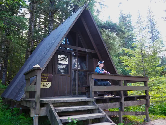
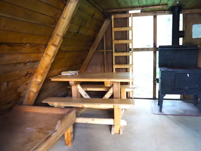
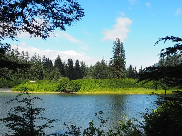
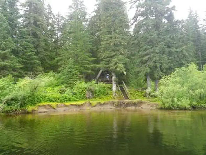
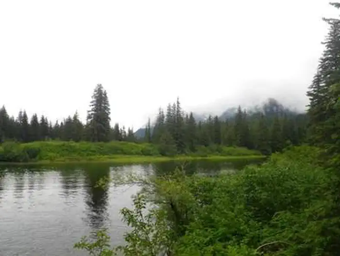
Overview Mount Rynda Cabin is located on Andrews Creek near its confluence with the Stikine River. It is located within the Stikine-LeConte Wilderness and is popular for fishing and paddling. The site can be accessed by float plane or shallow draft boat, depending on conditions. A tide of 14 feet or higher is required to cross the Stikine River tide flats. Guests are responsible for their own travel arrangements and safety, and must bring several of their own amenities. Recreation Two miles of
Mount Rynda Cabin FAQ
Can I bring an RV to Mount Rynda Cabin?
Mount Rynda Cabin is not listed as accepting RVs. It may be tent-only or have access limits, so check before you go or see the nearby RV campgrounds listed on this page.
Can I reserve a campsite at Mount Rynda Cabin?
Yes. Campsites at Mount Rynda Cabin can be reserved through Recreation.gov. View it on Recreation.gov.
Where is Mount Rynda Cabin located?
Mount Rynda Cabin is in Wrangell, Alaska, at Wrangell Ranger District. GPS coordinates: 56.66444, -132.23917. Get directions.
What can you do at Mount Rynda Cabin?
Activities at and around the campground include Boating, Camping, Fishing, Hunting, Wildlife Viewing, Paddling, Birding.
How do I contact Mount Rynda Cabin?
You can call 907-874-2323. They can confirm site availability, hookups, length limits and current conditions.